Relying on your car to get around Toronto is probably going to be more of a headache than you might think. We’ve got insider tips and tricks for navigating the Six like you live here.
If you’ve never been to Toronto, you might be planning to drive to every destination you want to visit. But if you haven’t already been told, consider this your PSA: Traffic and parking can be a nightmare. Read on to learn more about how locals traverse the city, by transit, on foot, by bicycle, by ride-share and more.
GET ORGANIZED BEFORE YOU EVEN LEAVE YOUR ACCOMMODATIONS
Hard-copy maps may be a thing of the past as navigation apps take centre stage, but we’re a little bit old-school. Buy a city map (or ask the concierge at your hotel for one) and spread it out to get the lay of the land. Circle the landmarks and attractions you want to see, and develop an itinerary by neighbourhood. Right away, you’re thinking like a Torontonian, as it’s best practice to group errands and events by proximity. You’ll be able to make your way to one area of the city and potentially even walk between stops, cutting down on travel time.
DO YOUR RESEARCH WHEN IT COMES TO TRANSIT
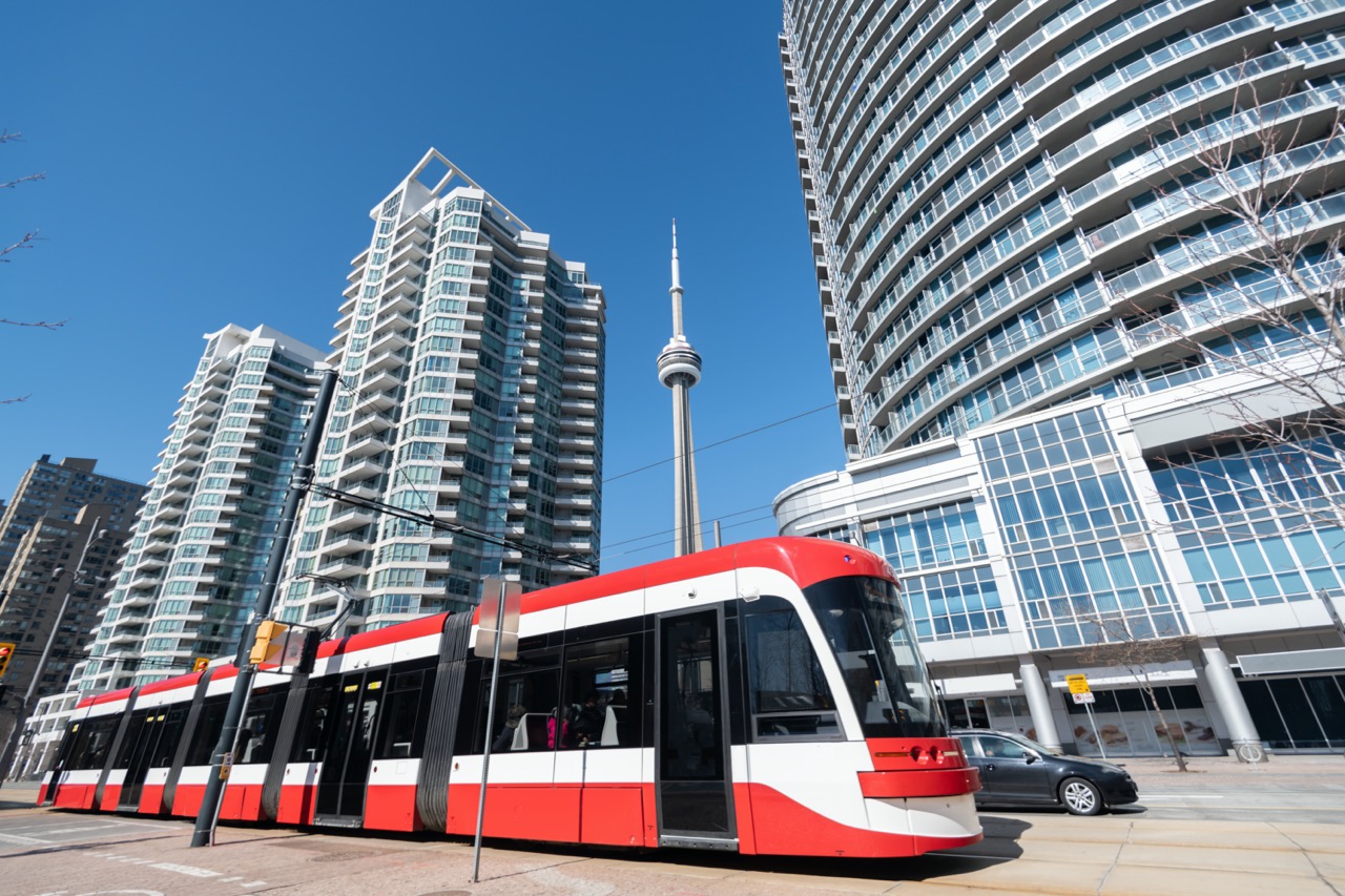
There are a number of public transit options in Toronto. The TTC operates subways, buses and streetcars across and up and down the city. Go Transit services the Greater Toronto Area, with stops within Toronto proper and extending to other cities and suburbs in the region. Via Rail is for families who are looking to use Toronto as a home base for travel to places like London or Ottawa, with trains regularly headed to different parts of the province.
The TTC is the most common way of getting around the city centre. You can use the online TTC trip planner (ttc.ca/trip- planner) to map out your route, as there are likely to be different route options for each of your destinations, with different modes of transportation on each. There are also a number of third-party TTC apps available. These apps allow you to view full transit timetables, get real-time locations of streetcars and buses, and more. (TTC Watch and MyTTC are just two of many options, but both are highly rated on the App Store and Google Play.)
Tips for families with strollers and mobility devices: Not all subway stations are accessible. Be sure to make note of the options that will work best for you as you plan.
IF YOU MUST DRIVE, PAY ATTENTION TO TRAFFIC AND PARKING OPTIONS
We know there are some locations that are easier to reach by car. Attractions
that are further afield commonly require switching transit systems along the way, which can be a lot with small kids. If you have to drive, look at a traffic forecast
site or app to determine the best route (because the best route on paper may
not actually be the best route when you factor in traffic). Waze is updated by users, for example, and it will re-route when the interface detects a traffic slowdown on your chosen course.
It’s also important to pre-determine the parking options nearby. At destinations outside of the city centre, parking is likely to be relatively easy. But if you’re going to an event or attraction in the heart of the city, it can be a little more challenging. The Toronto Parking Authority’s Green P app, as well as the parking app SpotHero, can help you to find parking close to your intended location.
CONSIDER A DIFFERENT SET OF WHEELS
You’ll come across various bicycle rental racks as your make your way through the city. If you’re a comfortable cyclist, this is a good option for you. It won’t work for younger kids, as the bikes are typically one size, but if you’re travelling with pre-teens or teens who can easily fit an adult bike, this might be just the ticket. Don’t forget to bring your helmets from home if you intend to explore this option. Toronto has bike lanes in many areas of the city, but it is a busy metropolis and safety is paramount.
WHEN TO CAB OR RIDE-SHARE
Toronto is home to many, many taxi and ride-share options, but as with any other major city, you have to weigh out the pros and cons. Attempting to get across the city in rush hour (8am to 9am, and 3pm to 6pm) will be a slow and expensive endeavour. Sometimes it can’t be helped (we’ve all encountered a toddler who will just not walk one more step) but if you can get everyone in your party on board with taking transit, you’re likely to get where you’re going quicker and at less cost.
DID YOU KNOW…
The PATH System
Toronto has an underground pedestrian walking system that spans more than 30 kilometres of restaurants, services and entertainment. Six subway stations (including the city’s main transit hub, Union Station), three major department stores, nine hotels and some of the most popular tourist destinations are all connected through the PATH system. It is possible to walk the PATH from the waterfront to the Eaton Centre, and from the entertainment district to Yonge St., passing through the financial district.


